


Slab of rock may be remnant of Resurrection plate
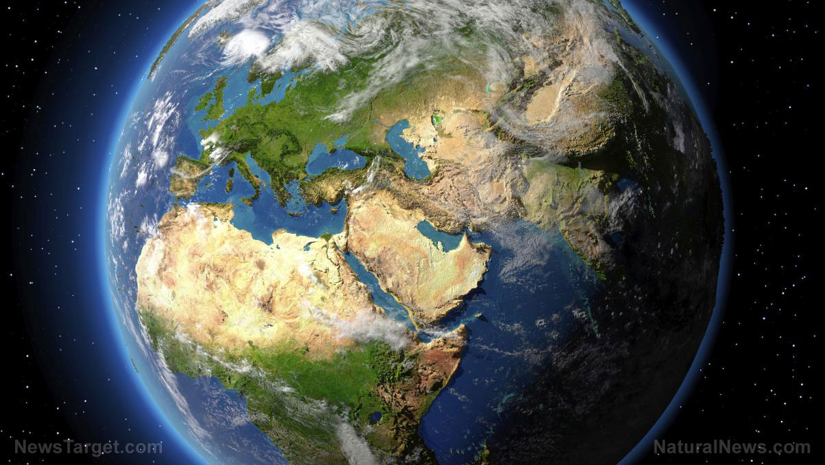
Geologists believe that the rigid outermost shell of Earth is broken into tectonic plates. Some tectonic plates converge to form a subduction zone, a region below Earth where one plate slides beneath the other and sinks back into the mantle. The plate that sank melted and got destroyed by the intense heat of Earth's interior.
At the beginning of the Cenozoic Era around 60 million years ago, there used to be two plates, called Kula and Farallon, off the western coast of what's now North America. However, some geologists speculated that a third plate, Resurrection, potentially existed along with Kula and Farallon. It likely melted and got deformed after subducting into the mantle, forcing it to shrink dramatically.
To find the remains of the Resurrection plate, the researchers examined available tomography images of the mantle below North America. They combined this data with a "slab unfolding" technique to reconstruct what tectonic plates in the Pacific Ocean looked like during the early Cenozoic. Slab unfolding allowed the researchers to identify and trace several large chunks of rock back to their original plates.

They identified three slabs of rock below North America, two of which – the Alaska and Cascadia slabs – are already known and are still attached to each other. The Alaska slab lies beneath the Aleutian Islands and is thought to be the remains of the Kula plate. In contrast, the Cascadia slab sits under southern California and is believed to be the remains of Farallon.
The third slab, which the researchers named the Yukon slab, is detached from the others and sits about 250 to 370 miles below Yukon in northwestern Canada. The researchers suspected that it's a remnant of the Resurrection plate.
“When ‘raised’ back to the earth’s surface and reconstructed, the boundaries of this ancient Resurrection tectonic plate match well with the ancient volcanic belts in Washington State and Alaska,” said co-author Jonny Wu of the Department of Earth and Atmospheric Sciences.
The model indicated that the Yukon slab drifted northeast after the Resurrection plate first went under around 40 million years ago.
“We believe we have direct evidence that the Resurrection plate existed,” said co-author Spencer Fuston who's also from the Department of Earth and Atmospheric Sciences. (Related: Study: Plate tectonics that shifted continents across Earth started at least 2.5 billion years ago.)
The researchers said that their findings could improve volcano modeling, which could better forecast volcanic hazards. “Volcanoes form at plate boundaries, and the more plates you have, the more volcanoes you have,” said Wu. He added that the findings could also help study how the climate changed through time, given that volcanoes affect the climate.
Subduction zones in the Pacific
Subduction zones are found all around the edge of the Pacific Ocean. They're found offshore of Washington, Alaska, Canada, Japan, Indonesia and other countries along the Pacific. These subductions zones form the Pacific Ring of Fire, a string of at least 450 active and dormant volcanoes, and are responsible for the world's strongest earthquakes, tsunamis and volcanic eruptions.
The most powerful recorded earthquake, the 1960 earthquake in Chile, struck along the Ring of Fire and generated a tsunami that reached Hawaii, Japan and the Philippines. The tsunami caused more than 200 deaths in all three countries and caused around $23.5 million worth of damage in Hawaii.
Meanwhile, one of the deadliest volcanic eruptions, the 1883 eruption of the volcano Krakatoa in Indonesia, was responsible for more than 36,000 deaths. Most of the casualties were caused by a series of tsunamis triggered by the volcano's collapse.
Read more studies on subduction zones at Disaster.news.
Sources include:
NGDC.NOAA.gov [PDF]


Please contact us for more information.

