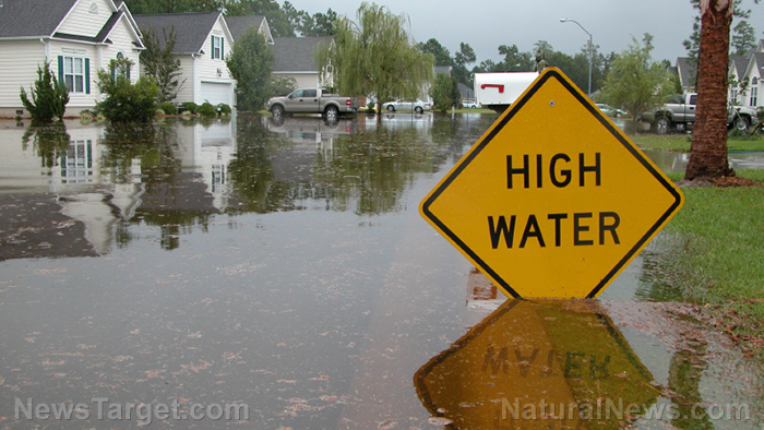
The researchers focused on coastal counties along the Gulf of Mexico and the East Coast. They also examined storm surges, sea level rises and changes in tropical storms and hurricanes (such as forecast increased occurrence and strength) to map out the possibility of flood occurrence along the two areas. To make mapping easier, the researchers divided the study area into four regions: New England, mid-Atlantic, southeast Atlantic and Gulf of Mexico. Their findings were published in the journal Nature Communications.
Based on the team’s findings, levels of flooding that were only documented once every 100 years would happen every year the New England and mid-Atlantic regions every. Meanwhile, the southeast Atlantic and Gulf of Mexico regions would experience the once-every-century flood level from one to 30 years.
Sea level rises play a big role in higher flood levels in the New England and mid-Atlantic regions, while the combination of rising sea level and tropical cyclone change contributes to higher flood levels in the Gulf of Mexico and southeast Atlantic areas.
The team also found that changes in tropical cyclone intensity increased the chance of flood occurrence. Stronger storms had a low impact on flooding return in the New England and mid-Atlantic regions located near the Gulf of Maine. On the other hand, the southeast Atlantic and Gulf of Mexico areas ought to look forward to more flood returns when a strong storm arrives – as it contributes to more occurrences of flood. However, the team acknowledged that changes in sea level vary from place to place.
Professor Reza Marsooli of the Stevens Institute of Technology, a member of the research team, said that the study’s predictions are different from others currently available as it combined multiple values typically addressed separately.
The new maps utilize the latest climate science technologies to look at how tropical storms will behave in the future. The same technologies will also analyze how past tropical storms have behaved; federal disaster officials use this data to create their flood maps for planning. The new maps the team made are then integrated with sea-level analysis for a more detailed view.
New flood maps that factor in changes in sea level and tropical cyclones help authorities plan ahead
The research team hopes that creating more accurate and customized maps, especially those that consider local conditions down to the county level, will help coastal areas prepare for seasonal flooding.
Current flood risk maps from the U.S. Federal Emergency Management Agency (FEMA) have not considered the rise in sea levels and tropical cyclone changes as additional factors. Thus, the study suggested the inclusion of these two in subsequent flood mapping efforts.
Professor Ning Lin of Princeton University, another member of the research team, said that the maps help plan to mitigate the impact of future floods that may occur. Policymakers can compare the degree of possible risk in different areas, identify hotspots and allocate the necessary resources to address these. Meanwhile, Coastal counties can use the maps tailor-made for their communities to help in decision-making so that appropriate responses such as coastal flood defenses are deployed.
More news about flooding caused by rising sea levels and tropical storms can be found at Climate.news.
Sources include:
Please contact us for more information.


