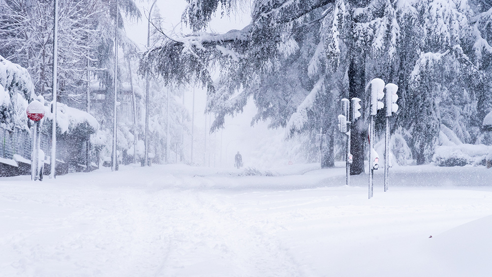
U.S. Meteorological Analyst Ryan Hall said: “Winter in the U.S. this year is going to be very different. El Niño is ramping up in the Pacific. Sea surface temperatures in the Atlantic Ocean are still off the charts, and we're going to have an amplified southern jet stream."
He added that this will affect not only the amount of snow that is dumped on the country but also how often it occurs.
Hall said that while the South and East have enjoyed relatively warm and dry winters over the last three years thanks to La Niña, the situation will be a lot different as we enter this winter in El Niño. This means that the Pacific Ocean will be warmer than usual, spurring a lot of thunderstorm activity, amplifying the Southern jet stream and setting storm systems in motion throughout the South. Some of these storm systems could well be strong enough to latch on to colder northern air and create sizeable snowstorms.
They could even be on the level of the North American blizzard of 2003 or the blizzard of January 2016 that buried much of the Mid-Atlantic in three feet of snow, resulting in $500 million worth of damage. Although he concedes that we can’t say for certain whether those weather events were the result of El Niño, this is the type of thing we can see during El Niño winters. However, this is balanced by their tendency to keep things somewhat mild in the East.
The Farmer’s Almanac Editor Peter Geiger echoed this sentiment, warning in August: “The 'brrr' is coming back! We expect more snow and low temperatures nationwide."
The publication shared a 2023-2024 Winter Outlook map showing a cold and snowy northeast giving way to a “frosty, flakey, slushy” southern New England and a cold and stormy Great Lakes area. Texas and its neighboring states, meanwhile, are expected to be unseasonably cold and stormy, while the Northwest will be seasonably cold and wet. The combination of colder temperatures and more frequent precipitation could mean the South will see much more sleet, snow and freezing rain than usual.
In California and parts of the Southwest, a stronger El Niño could cause more storms and snow at higher elevations, although its effects on these areas can be more challenging to predict.
Meteorologists are expecting a historically strong El Niño
In June, the National Weather Service’s National Oceanic and Atmospheric Administration (NOAA) announced that the expected El Niño had officially arrived and would gradually strengthen into wintertime, staying strong throughout the colder months and sticking around at least until early spring. They noted that this weather phenomenon occurs, on average, anywhere from every two to seven years and is responsible for a range of weather patterns that often set records. This year, NOAA said there is a 71 percent chance of experiencing a historically strong El Niño.
The last winter that had an El Niño of the strength expected this year was 2009 and 2010. That winter saw very cold temperatures in the central and southern U.S. with very snowy and wet conditions on the East Coast, while the Northeast was hit with multiple blizzards in quick succession.
Sources for this article include:
Please contact us for more information.


