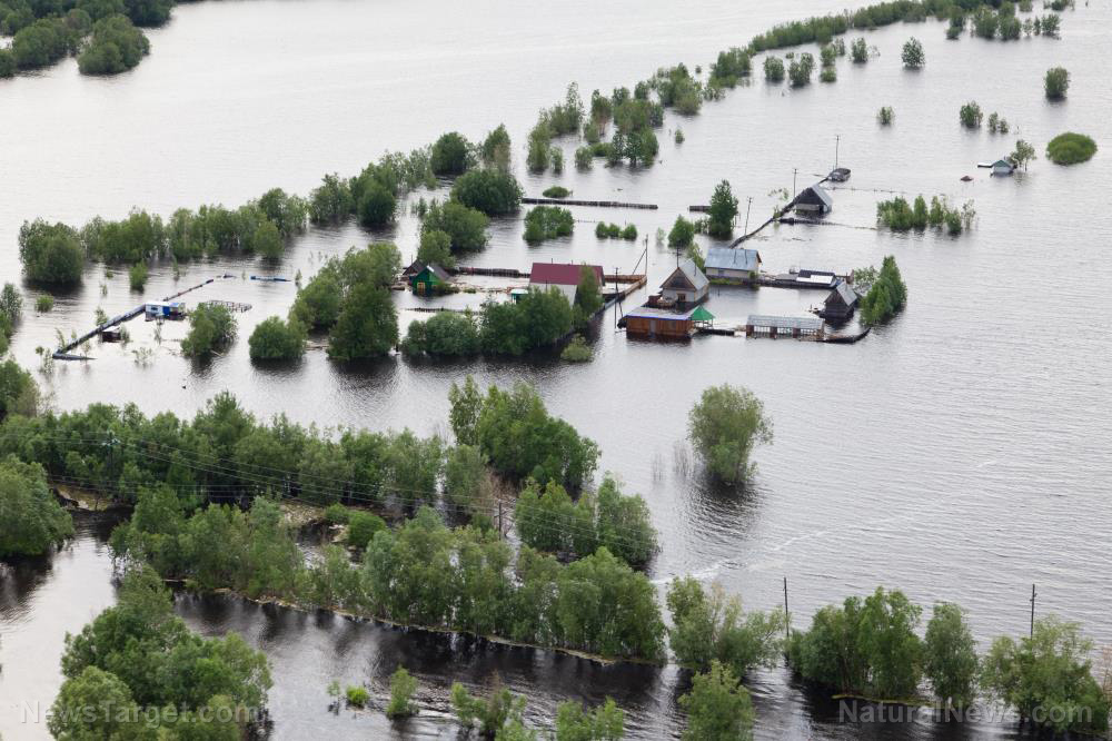
In fact, rain in some parts of central and southern China has hit record highs in recent weeks. But the Ministry of Water Resources (MWR) said precipitation is actually 10 percent lower this year than last year.
Moreover, the ministry warned that water levels on the Yangtze River, the longest river in China and Asia, and its tributaries are expected to rise further in June. The ministry also warned of major floods throughout the country from June to August.
Some monitoring stations have already issued alerts in anticipation of extreme flooding as the country entered its main flooding season on Tuesday, June 1. However, parts of South China have been experiencing a series of heavy rains since May.
The MWR said a new round of heavy rainfall will affect southern parts of China from Tuesday to Friday, which may cause floods exceeding warning levels in Central China. Moreover, heavy rainfall may also cause four rivers in East China's Jiangxi and Fujian Provinces and South China's Guangxi Zhuang Autonomous Region to exceed warning levels.
Meanwhile, the section of the Yangtze River that passes through the city of Wuhan in Hubei province saw water levels that are at least two meters (m) higher than what is normal at this time of the year.
In Jiangxi, the water level of Poyang Lake has already reached 18 m, just a meter shy of its flood warning level. The lake, also known as the kidney of the Yangtze River, hit record-high levels more than a month earlier than in previous years.
Officials also said larger floods may occur in small and medium-sized rivers in places experiencing rainstorms.
China enters main flooding season
Last summer, rainfall in China reached its second-highest level since 1961. This has brought water levels at the Three Gorges Dam, a massive hydroelectric gravity dam on the Yangtze River, close to the maximum level.
In fact, nationwide precipitation levels last year hit almost 700 millimeters (mm), which is 10.3 percent higher than average. This figure is also up 7.6 percent from the previous year because rainfall doubled in parts of central and northeast China.
Now, because of rising river levels and flooding forecasts, authorities are scrambling to prepare for floods. MWR officials said 47 reservoirs along the Yangtze River basin have already made preparations to relieve floods, most of which had been discharged to full levels.
Some provinces have also started preparing for the possibility of extreme flooding. In the southern province of Guangdong, authorities launched a level-IV emergency response to flood prevention. They also raised the alert for risks of waterlogging on Monday, May 31, as 12 hydrometric stations in the province recorded precipitation levels of more than 250 mm.
In Hunan, a mountainous province north of Guangdong, local water resource authorities and the Hydrological Bureau of the Yangtze River jointly carried out an emergency monitoring exercise at a section of the Yangtze River on Wednesday, May 26 response to flood warnings.
The exercise simulated a situation in which heavy rainfall led to extreme flooding in the lower reaches of the Xiangjiang River in central China. It is one of the main tributaries of the Yangtze River. In the simulation exercise, severe floods led to a bank collapse, which eventually caused water to flood into nearby cities. (Related: China faces worst flood in decades as Yangtze water levels reach record highs.)
Learn more about China's worst floods at Disaster.news.
Sources include:
Please contact us for more information.


