These blobs are as wide as continents and are as high as Mount Everest. They are found at the bottom of the Earth’s rocky mantle right above the molten outer core. The condition in this area of the planet is extremely hostile; so much so that many elements are crushed beyond recognition.
Details about these enormous "blobs" remain a mystery
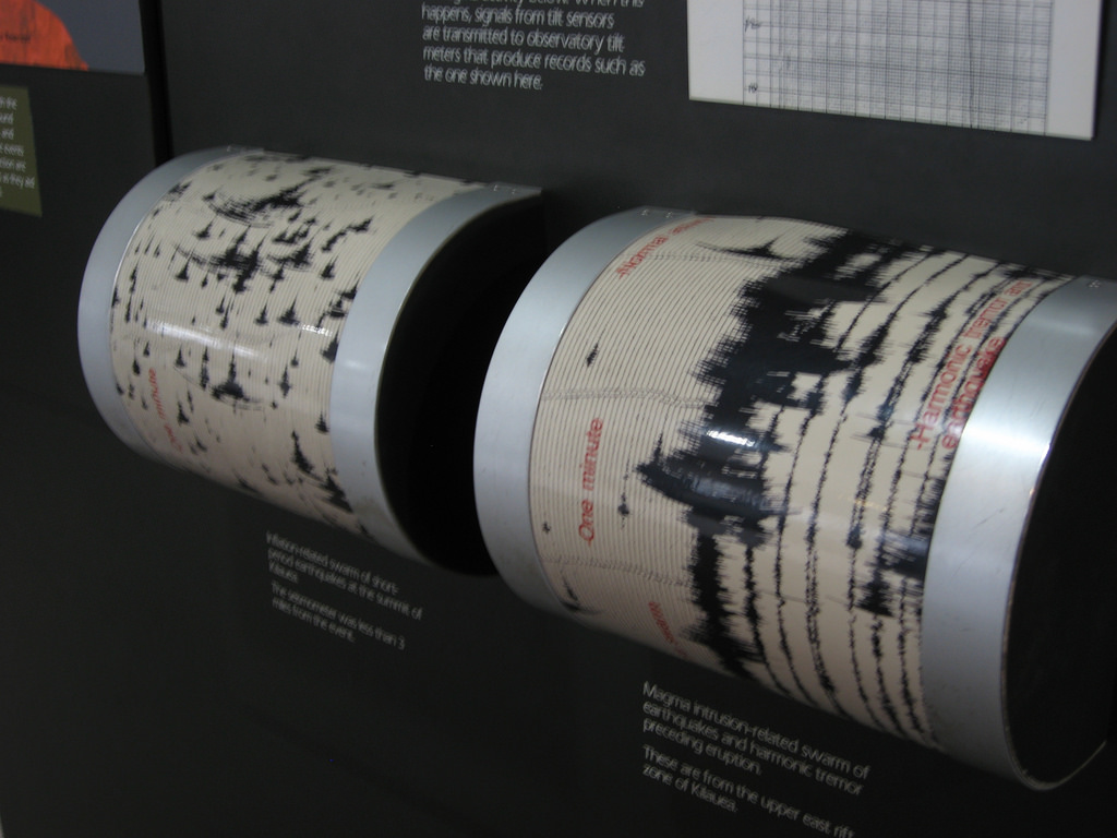
Scientists first noticed the existence of these blobs during the 1970s -- the year when seismic tomography was invented. Seismic tomography is an imaging technique, which can track the speed and movement of the waves, as well as the origin, of an earthquake. Scientists have gathered seismic tomography data from all over the world to paint a picture of the interior of the Earth.
“It was very clear in those models from the get-go that at the bottom of Earth’s mantle, nearly halfway to the center, there were these huge zones where the waves traveled more slowly,” said Ed Garnero, professor of Earth and space exploration at Arizona State University.
The collated data not only reveal the existence of blobs, but also show where the highest concentrations of slow velocity zones are located: under parts of Africa and the Atlantic Ocean and under the Pacific Ocean. However, while scientists all agree that these blobs exist, they have yet to understand why they exist.
A recent study published in the journal Nature said the blobs "remain enigmatic." In fact, scientists across the globe have yet to decide what to call them officially. These blobs go by many names, but are commonly called large low-shear-velocity provinces or LLSVP.
One of the many reasons why details about these blobs remain unknown is because of the sheer difficulty of studying that which cannot be seen. Unlike in space research where experts can peer into the cosmos using a telescope, scientists studying the interior of the Earth have no such technology to see inside the planet. Moreover, it is close to impossible to go that far beneath the Earth's surface.
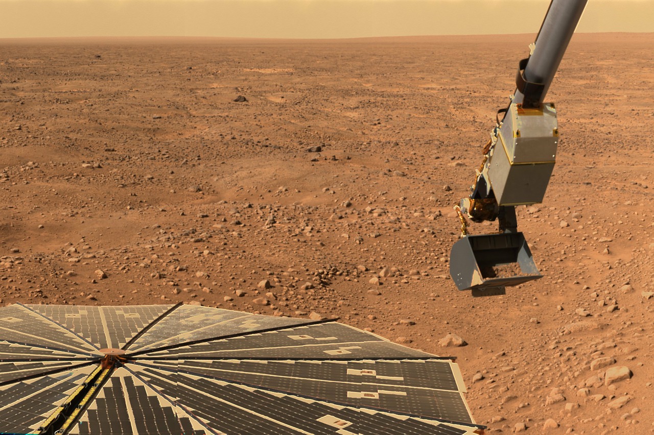
“We know less about what’s deep below our feet than the surface of the Sun or the Moon or Mars,” said University College London researcher Paula Koelemeijer.
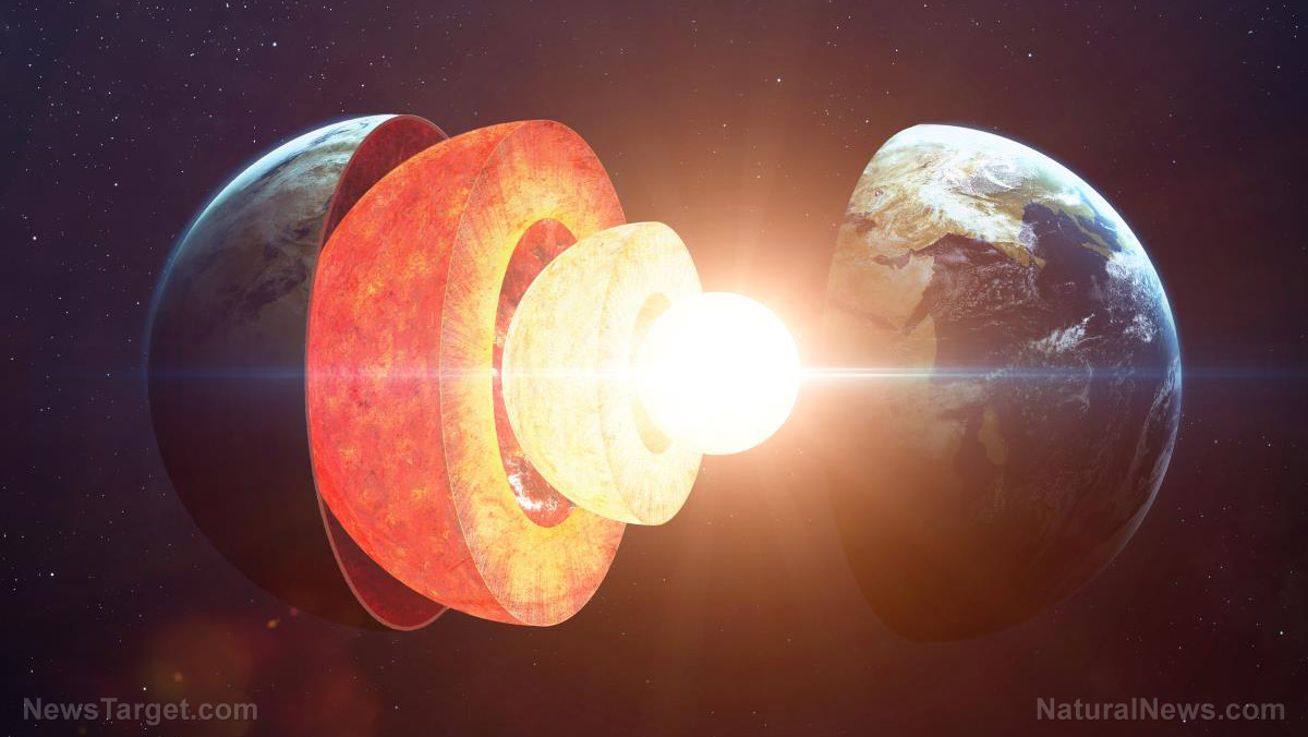
The layers of the Earth
Earth has four different layers: the crust, the mantle, the outer core, and the inner core. Many researchers believe that as the Earth cooled millions of years ago, the denser materials started to sink, like iron and nickel, and lighter materials remained on the surface, like basalt and granite.
The uppermost layer of the Earth, where life exists, is the crust. It is about five miles thick under the oceans and 25 miles thick under the continents. The temperature of the crust can range from air temperature on the surface to about 1,600 F in the deepest part.
The next layer, the mantle, sits below the crust. It measures 1,800 miles across and is considered the thickest layer of the Earth. The mantle is composed of scorching and dense rocks that flow like asphalt under a heavy weight. The temperature of the mantle varies from 1,600 F at the uppermost layer to the 4,000 F near the bottom.
The outer core of the Earth is a ball of very hot liquid metal, like nickel and iron. It is located 1,800 miles below the crust and is approximately 1,400 miles thick.
The last layer, the inner core, has temperatures and pressures so immense that metals are crushed together and are unable to move like liquid. In effect, they vibrate in place as a solid. The inner core is located 4,000 miles beneath the crust and is about 800 miles thick. Temperatures in the inner core can reach up to 9,000 F, and the pressures are known to reach 45,000,000 pounds per square inch.
For more stories and studies about Earth sciences, visit Science.news.
Sources include:
Please contact us for more information.


