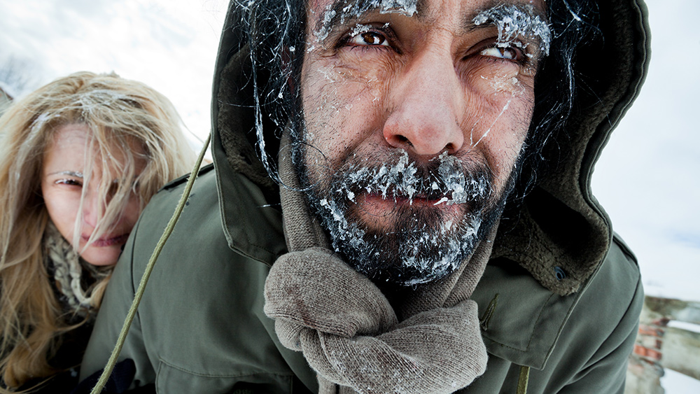
A so-called "polar vortex," or arctic blast, will reportedly roll down from Alaska and the far north into the Pacific Northwest in the coming days. It will then move on down to the Central and Midwest portions of the country over the following five to 10 days, according to meteorologist Ryan Maue.
The National Weather Service's (NWS) Climate Prediction Center says the cold blast will really make its presence known late next week, bringing with it temperatures that in some areas will be a full 78 degrees lower than normal for this time of year.
An ongoing stratospheric warming event over the North Pole is taking the blame for this threat as it is displacing the polar vortex and sending all that very cold air down into the lower 48 states.
Some areas will receive freezing rain while others will get dumped with lots of snow. One silver lining is a forming ridge in the Southeast that could end up containing the cold air to the western half of the United States and Canada.
(Related: Evidence shows that polar bears survived just fine during 1,600 years of warm, ice-free summers.)
So much for those "boiling" oceans
If the arctic blast arrives as planned, it could be comparable to the cold weather disaster of Storm Uri in February 2021 that left more than four million Texans without electricity or heat for a record 70.5 hours.
In that storm, a shocking 365 generators were knocked offline, leaving much of Texas with no power. Because the Lone Star State is ill-equipped for such weather events, it ended up being one of the worst disasters in the state's history.
Described as the greatest forced blackout event in U.S. history, the Texas disaster highlighted the need for a more robust grid management system all across the country.
The latest polar vortex storm is also bringing with it a huge snowstorm in the Northeast that has already dumped at least 15 inches of snow on the Hudson Valley. Travel along the upper East Coast is chaotic and limited in some areas.
New York's Orange County received over a foot of snow in some areas, though Central Park in the city only reported about 0.2 inches of snowfall. The Big Apple has now officially gone almost 700 days straight without at least one full inch of snow on the ground.
The following snow accumulations elsewhere in New York were reported by the NWS:
• Port Jervis – 13.1 inches
• Unionville – 12.4 inches
• Norfolk – 12 inches
• Middletown – 11.8 inches
• Bear Creek – 11.5 inches
• Montgomery – 11 inches
At least 164 flights were cancelled at Boston Logan International Airport in Massachusetts because of the storm. Amtrak also announced modifications to its train service schedule due to the storm.
"Due to the forecasted storm, cancellations are expected. Passengers are advised to check with their airline on the status of their flight before coming to the airport and to allow extra time to travel to and from the airport," Boston Logan announced.
Jonathan Porter, AccuWeather's Chief Meteorologist and Senior Vice President of Weather Content and Forecast Operations, warned that all over New England, including in upstate New York and parts of Pennsylvania, can expect snow to fall at a rate of at least one inch per hour or more, which will make it difficult for road crews to keep up with plowing it.
Massachusetts is also in the mix with the following snowfall tallies being reported as of 10 am on Sunday:
• Haverhill – 12 inches
• Easthampton – 11 inches
• Granville – 10.4 inches
• Fitchburg – 9.9 inches
Do you think the world is in a state of climate change? Learn more at Climate.news.
Sources for this article include:
Please contact us for more information.


